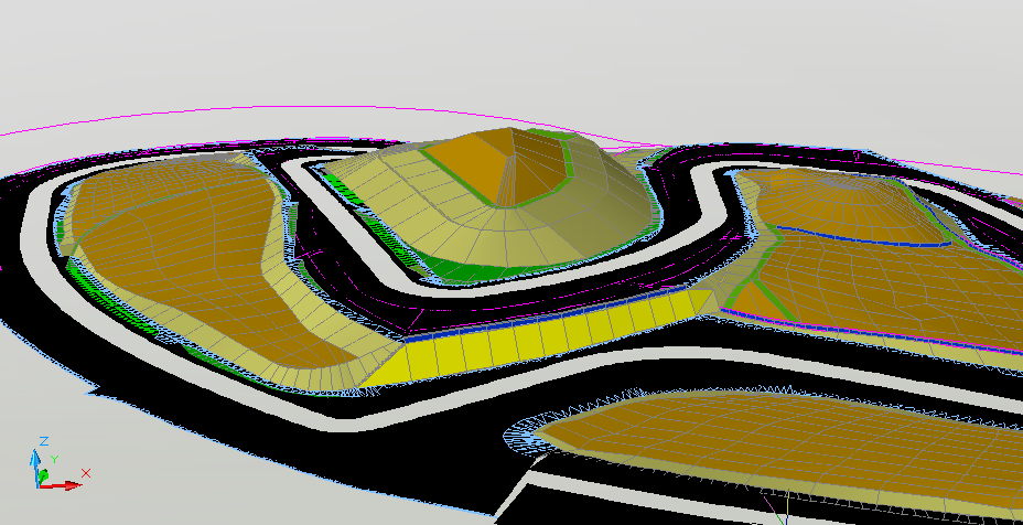
Some brief information about this new project of us:
1. Dat file was managed by Paulo, 9 meters (same as two dat sectors) shorter than real thing;
2. All further development were my researches along some Algarve resting days;
3. Elevations are based at official "desniveles" (altimetry profile) available and a cycling lap under GPS assistance. Final result is a merge of both, once none of them is related to FIA layout;
4. Secondary layout were created just for 3d meshes, no plans to be used as dat file.
5. Project is running for fun, so no release target at all.